Finding hidden cycling roads has gotten complicated with all the route planning apps and “best routes” lists flying around. As someone who’s logged 15,000+ miles of adventure cycling—and gotten lost more times than I’d like to admit—I learned everything there is to know about finding roads that aren’t on any app. Today, I’ll share how to discover routes the old-fashioned way and navigate without electronics when your GPS inevitably fails.
Probably should have led with this: the best ride of my life was a wrong turn in rural Oregon that led me down an unmarked gravel road through old-growth forest. No app would have suggested it. I found it by accident and navigated out using a gas station paper map.
Finding Hidden Roads on Any Map
Forget complicated route planning apps. The best cycling roads are often discovered by accident—a wrong turn that leads to an empty farm road, or a detour around construction that reveals a hidden gem.
What to Look For
Dead-end roads that connect to trails. These forgotten connectors often appear as thin lines on satellite maps. They’re too insignificant for through traffic but perfect for bikes. I’ve found some of my favorite routes this way.
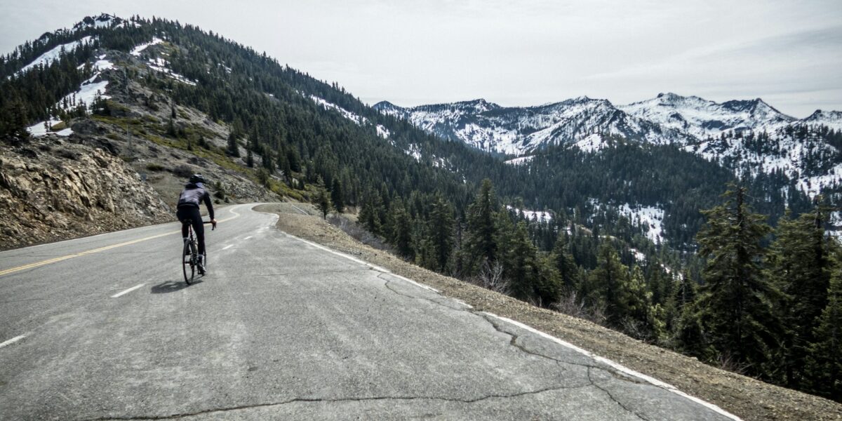
Roads that follow rivers or ridgelines. Water and elevation contours kept these routes relevant for centuries before cars. They still offer the best scenery and gentlest grades. That’s what makes river roads endearing to us touring cyclists—someone already figured out the easy path centuries ago.
County roads numbered above 500. The higher the number, the lower the traffic. A road labeled CR-1247 probably sees fewer than 50 cars daily. I actively seek these out.
The Quick Discovery Method
Open Google Maps satellite view. Look for paved roads that suddenly turn to gravel. These transition zones often mark the boundary between developed and rural areas—exactly where adventure cycling gets interesting.
Screenshot promising sections. Compare them against Strava heatmaps to see if other cyclists have validated the route. Low heat but visible tracks usually indicates a hidden gem worth exploring.
Navigating Without GPS
GPS dies. Phones lose signal. Battery banks fail. I learned this lesson stranded in the Nevada desert with a dead phone and no clue which direction to go. Old-school navigation skills aren’t romantic nostalgia—they’re essential backup systems for any serious adventure cyclist.
Paper Maps Still Work
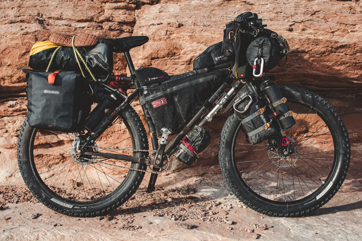
A waterproof map of your route area costs $15 and never needs charging. National Geographic Trails Illustrated, USGS topo maps, and regional cycling maps all work. Fold them to show your current section, store in a handlebar bag or jersey pocket. I carry one on every multi-day ride now.
Reading the Landscape
Water flows downhill. Following creeks leads to rivers, rivers lead to valleys, valleys contain roads and towns. When lost, head downhill toward water and you’ll eventually find civilization. This has saved me twice.
Power lines go somewhere. Follow them to civilization when truly lost. They connect populated areas and will eventually lead you to a road.
Sun position tells direction. In the northern hemisphere, the sun is south at noon. Morning sun is east; afternoon sun is west. This gets you oriented even without a compass.
The Ask-a-Local Method
Works everywhere, always has. “How do I get to [next town]?” yields better information than any app. Local knowledge includes road conditions, shortcuts, and hazards that digital maps miss entirely.
Farmers know which roads flood. Shop owners know which routes have construction. Mail carriers know every road in their territory. These human resources are more reliable than satellite data. I’ve gotten better route advice from a gas station attendant than from any planning app.
Before You Leave: Build Your Mental Map
Study your route while you have internet. Note major intersections, town names, and general direction of travel. Screenshot key sections and save them for offline access.
This mental map persists when electronics don’t. Knowing “I need to head generally northeast toward Springfield, crossing the river at some point” is enough to navigate without precise GPS coordinates. I review my route this way the night before every tour day.
The Real Navigation Skill
The cyclists who navigate best aren’t those with the fanciest devices—they’re those who paid attention to where they were going in the first place. Sometimes the best adventure is simply turning where you’ve never turned before and trusting your ability to find your way back.
Technology is a tool, not a crutch. Master both digital and analog navigation, and you’ll never be truly lost. My best discoveries have come from deliberately getting lost—but only because I knew I could find my way home.


Stay in the loop
Get the latest adventure cycling world updates delivered to your inbox.