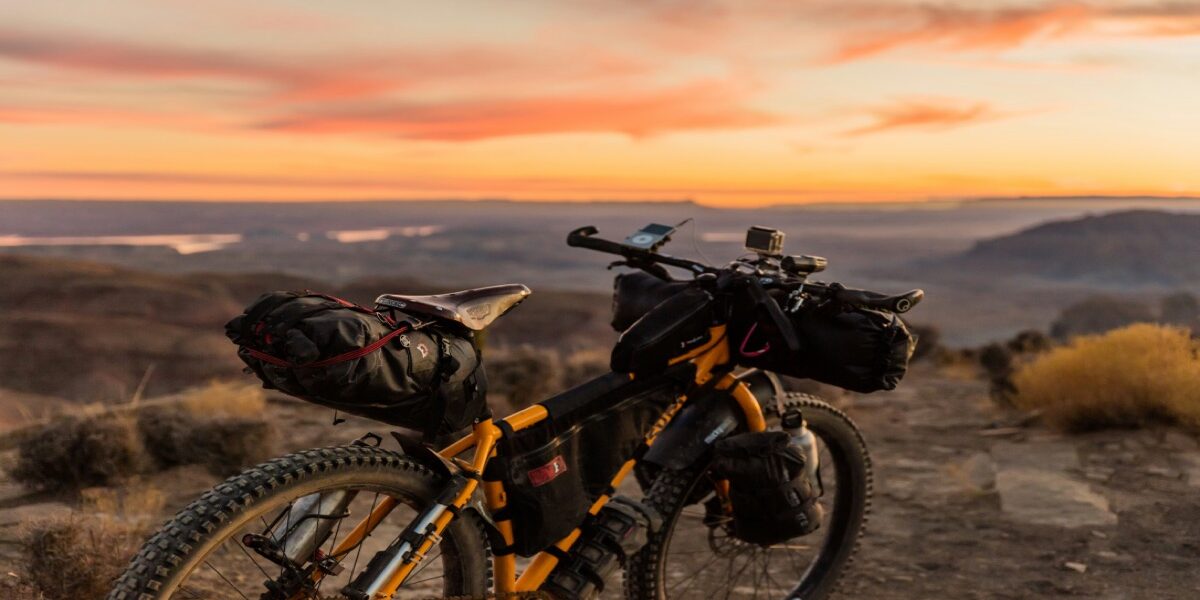
The best North American bikepacking route depends on your time, technical skill, climate window, resupply tolerance, and appetite for remoteness. The Great Divide is the classic continental commitment; the Oregon Timber Trail emphasizes mountain-bike singletrack; the GAP and C&O corridor offers a more accessible introduction; and the White Rim is a shorter desert route with strict permit logistics.
Distances and access can change with reroutes. Treat every figure below as approximate, then obtain the current route file, maps, closures, permits, fire restrictions, water information, and land-manager rules before departure. A GPX track copied from an old article is not a complete trip plan.
North American Bikepacking Routes at a Glance
| Route | Approximate scope | Best fit | Planning issue that decides the trip |
|---|---|---|---|
| Great Divide Mountain Bike Route | More than 3,000 miles, Jasper to the US–Mexico border | Long-distance dirt-road touring | Season, snow, wildfire, border logistics, long resupply gaps |
| Western Wildlands Route | Roughly 2,700 miles, Canada to Mexico | Remote western backroads and rugged touring | Remoteness, water, surface changes, land closures |
| Oregon Timber Trail | About 670 miles across Oregon | Experienced riders seeking substantial singletrack | Technical difficulty, trail condition, fire and snow |
| Arizona Trail bike route | About 800 miles, with required bicycle detours | Technical desert and mountain bikepacking | Water, heat/cold, wilderness and National Park restrictions |
| Colorado Trail bike route | About 500 miles, with bicycle detours | High-elevation technical riding | Altitude, storms, snow, wilderness detours |
| Baja Divide | About 1,700 miles through Baja California | Rugged desert travel with cultural and border logistics | Water capacity, sand, remoteness, international preparation |
| White Rim Road | About 100 miles in Canyonlands National Park | A shorter desert circuit for prepared riders | Permit, campsites, water, support rules, extreme heat |
| GAP plus C&O Canal Towpath | Roughly 330 miles, Pittsburgh to Washington, DC | First multi-day route and rail-trail touring | Surface/weather, campsite and service planning |
1. Great Divide Mountain Bike Route
Adventure Cycling Association’s current Great Divide Mountain Bike Route runs more than 3,000 miles from Jasper, Alberta, to Antelope Wells, New Mexico. That is longer than older versions ending in Banff, so use current maps rather than repeating a legacy mileage figure.
The route is primarily a dirt-road and gravel-road expedition rather than a continuous technical singletrack trail. Its difficulty comes from cumulative distance, climbing, weather, wildlife practices, mechanical self-reliance, and stretches between services. Riders can tackle a section instead of committing to the full border-to-border route.
Choose it if: you want a long, mapped continental route and prefer backroads to sustained technical trail. Do not choose it solely because it is famous: confirm whether your available season, budget, border documents, daily pace, and emergency plan fit its scale.
2. Western Wildlands Route
The Western Wildlands Route from Bikepacking Roots connects Canada and Mexico through the western United States. It is a distinct alternative to the Great Divide, emphasizing remote public-land corridors and a rugged backcountry experience.
Remoteness is not a marketing adjective here—it changes the bike, tire, repair, communication, food, and water plan. Download the current route resources from the organization maintaining them, inspect recent updates, and divide the route by realistic services rather than equal daily mileage.
Choose it if: you already understand multi-day resupply and remote mechanical consequences. Build experience first if: your repair plan assumes a nearby shop or your navigation plan depends on continuous cell service.
3. Oregon Timber Trail
The Oregon Timber Trail describes itself as a 670-mile backcountry mountain-bike journey from California to the Columbia River Gorge. Unlike a mostly gravel continental route, it includes substantial trail riding and should be evaluated as a mountain-bike route.
The official organization publishes route resources, stewardship information, alerts, and segment planning. Wildfire, smoke, snow, downed trees, trail work, and seasonal access can materially change a plan. Never route around a closure based only on a third-party heat map.
Choose it if: your loaded-bike handling, hike-a-bike tolerance, equipment, and repair skills match a long singletrack-oriented route. Consider a segment first: the full route’s distance understates the effect of technical terrain and elevation.
4. Arizona Trail Bike Route
The Arizona Trail Association’s official mountain-biker guidance explains that bicycles are welcomed on much of the roughly 800-mile trail but cannot use every hiking alignment. Wilderness areas and some National Park rules require designated bicycle detours or “bike-arounds.”
Water sources can be seasonal or unreliable, and desert heat is only one exposure. The route also reaches high elevations where cold, wind, snow, and rapid weather changes are possible. Use current closures, water reports, permits, hazards, and bike-specific route data from the trail association.
Choose it if: you are prepared for technical riding, frequent transitions, water uncertainty, and legal detours. Do not: follow a hiking track into land where bicycles are prohibited.
5. Colorado Trail Bike Route
The Colorado Trail is approximately 500 miles between the Denver and Durango areas. Bikepackers use required detours around designated wilderness, so the legal bicycle route is not identical to the continuous hiking trail.
High elevation defines the planning. Acclimatization, afternoon storms, cold rain or hail, snowpack, lightning exposure, and bailout options matter more than a generic “summer” label. Check the Colorado Trail Foundation for current official information and use land-manager notices for closures and restrictions.
Choose it if: you have technical mountain-bike skills and a realistic altitude and weather plan. Start elsewhere if: the route would be your first loaded singletrack ride or first time managing sustained high elevation.
6. Baja Divide
The Baja Divide route resource describes a roughly 1,700-mile dirt-road bikepacking route through Mexico’s Baja California peninsula. The ride combines remote desert tracks, sand, mountains, coastal stretches, ranch roads, and international travel logistics.
Water-carrying capacity and source verification are foundational. So are border documents, insurance, communications, currency, local access, language preparation, health planning, and an exit strategy. Conditions and services can change; verify recent route updates rather than relying on an old resupply spreadsheet.
Choose it if: you have desert travel and remote resupply experience. Do not reduce it to: a warm winter escape. Temperature, wind, sand, water, isolation, and international logistics can all become serious.
7. White Rim Road
The White Rim Road makes a compact route comparison useful: it is about 100 miles, but “short” does not mean simple. The National Park Service’s White Rim Road guidance covers permits, campsites, road conditions, vehicle and bicycle rules, water, and seasonal hazards.
The route’s desert exposure, limited water, permit-controlled camping, and support logistics require advance planning. Never assume a support vehicle is permitted or capable of reaching you; verify current vehicle requirements, road condition, and the exact permit.
Choose it if: you want a shorter desert circuit and can secure the required itinerary. Postpone it if: extreme heat, road damage, closure, or unavailable camping makes the plan dependent on wishful timing.
8. Great Allegheny Passage and C&O Canal Towpath
Connecting the Great Allegheny Passage with the C&O Canal Towpath creates an approximately 330-mile Pittsburgh-to-Washington corridor. It is closer to off-road touring than remote singletrack bikepacking, which is exactly why it can be a strong first multi-day route.
Services, access points, and generally lower navigation complexity reduce—not eliminate—risk. Rain can change towpath conditions, mechanical failures still happen, and campsites and closures still need confirmation. Check the Great Allegheny Passage’s official resources and National Park Service C&O information before setting an itinerary.
Choose it if: you want to test packing, daily mileage, camp systems, food, and recovery without beginning in a deeply remote corridor.
How to Pick the Right Route
Match technical difficulty, not just distance
One hundred miles of rough desert road, 100 miles of wet towpath, and 100 miles of high-elevation singletrack are different trips. Evaluate surface, elevation, hike-a-bike, exposure, expected speed, daylight, and how the loaded bicycle handles.
Build a service-based itinerary
Mark reliable water, food, camping, bike service, transit, bailouts, and communication points. Then calculate the longest unsupported interval and add a realistic contingency. Daily mileage should follow terrain and services, not a neat spreadsheet average.
Use current authoritative route data
Download the route from the organization maintaining it, record the update date, and compare it with current land-manager closures. Our bikepacking navigation app guide explains offline-map tradeoffs, but an app does not grant access or supersede an official closure.
Plan the first trip as a test
Before a continental route, complete a one- or two-night loop with the intended bike and gear. Use our first bikepacking trip guide to test packing, camp setup, water, food, charging, repairs, and turnaround decisions.
Non-Negotiable Route Checks
- Current route file and revision date
- Trail, road, bridge, border, wildfire, smoke, snow, flood, and storm status
- Permits, campsite reservations, fees, and group-size rules
- Bicycle and e-bike access for every land unit, including wilderness and parks
- Reliable and seasonal water sources plus treatment plan
- Food and fuel availability, opening hours, and cash/payment limitations
- Weather and daylight for the actual dates and elevations
- Wildlife and food-storage requirements
- Emergency communication, check-in schedule, bailouts, and insurance
- A repair kit matched to the bike; start with our remote bikepacking repair checklist
Bottom Line
Choose the Great Divide for a mapped continental dirt-road journey, Western Wildlands for greater remoteness, Oregon or Colorado for technical mountain-bike emphasis, Arizona or Baja for demanding desert logistics, White Rim for a permit-controlled shorter circuit, and GAP/C&O for an accessible first multi-day test.
The best route is not the one with the most dramatic photos. It is the route whose current access, terrain, season, water, services, technical demands, and emergency options match the rider and the dates.



Stay in the loop
Get the latest adventure cycling world updates delivered to your inbox.